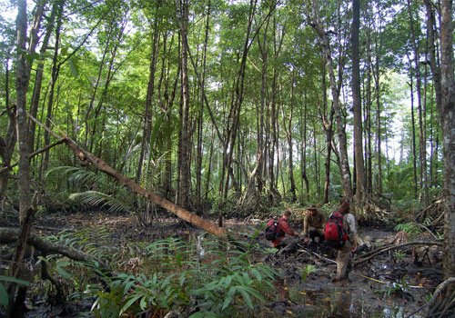
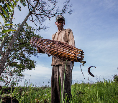
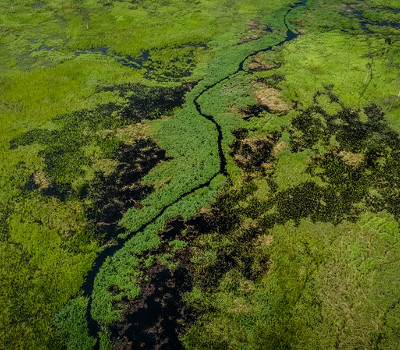
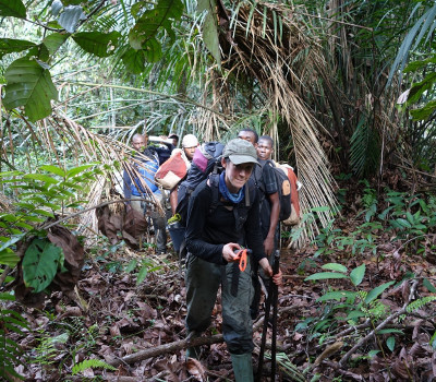
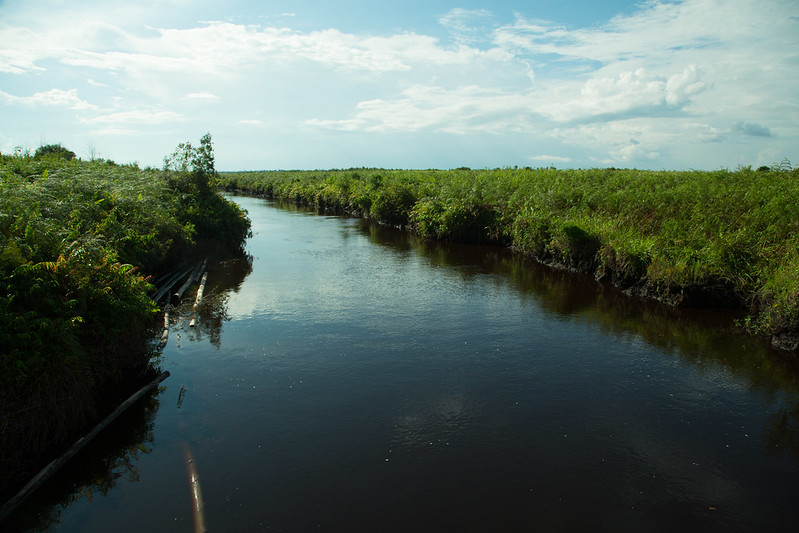
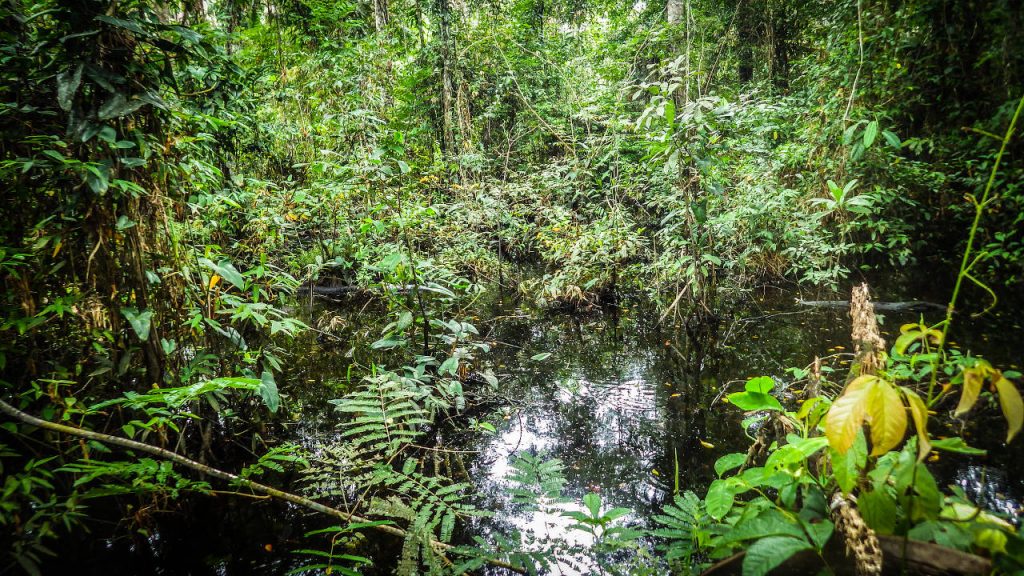
Global Wetlands Map
Explore the interactive web-based map and country and sub national level, take a tour to visit some interesting places, or download the datasets to conduct your own analysis.
The International Tropical Peatlands Center focuses on efforts to converse and sustainably manage peatlands throughout Southeast Asia, the Congo Basin and Peru
Peat is formed over many centuries by the partial decomposition of vegetation and organic matter in anaerobic, waterlogged conditions. The carbon contained in the vegetation is locked into the peat as it forms. It is estimated that peatlands currently store around 3000 GtC. Studies on temperate peatlands show that they also store large stocks of nitrogen, but this has yet to be quantified for tropical systems.
Drainage or burning of peatlands releases the stored carbon and nitrogen back to the atmosphere in the form of carbon monoxide, carbon dioxide, methane and nitrous oxide turning the peat from a sink to a significant source of carbon in the atmosphere.
About 3–5% of the earth’s surface is covered by peatlands. The most important in terms of climate change are the tropical peatlands of Indonesia, the Congo Basin and Peru.
Peatlands are a biodiverse habitat, home to many unique species. They also provide important ecosystem services to local communities. More importantly, peatlands sequester around 21% of global soil carbon.
Today, peatlands are under threat. Clearance and drainage release CO2, accounting for 5%of all anthropogenic emissions.
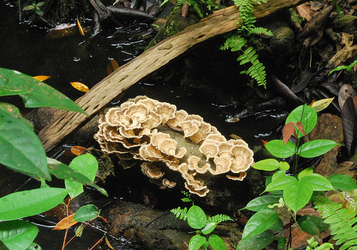
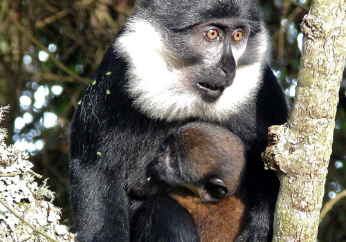
Around 82% (148, 300 km2) of Indonesia is peatlands. This ecosystem is very diverse: plants from epiphytes (e.g. Nepenthes) to climax trees (e.g. Shorea) and home to a variety of animals, including orangutans and Sumatran tigers. Peatlands also supply many ecosystem services to local communities.
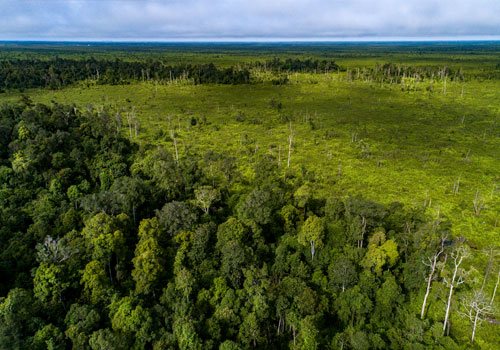
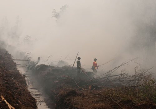
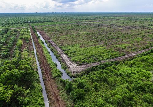
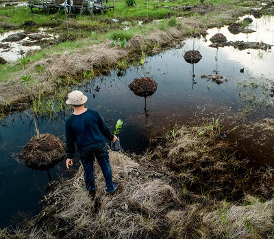
Recently, there has been rapid land-use change. In 2007, 2,700 m2 of peatlands were converted to acacia and oil palm plantations. By 2015, this area had a deforestation rate of 4.1% per year. Furthermore, the devastating fires of 2015 highlighted the degradation prompting the government to make peatlands conservation a priority.
The Pastaza Marañon Basin in Amazonian Peru is covered by a large expanse of largely uninvestigated palm swaps, underlain by peat. In total, they cover more than 50,00 km2. The aguaje palms (Mauritia flexuosa) of the swamps produce fruits which, as well as being commercially important marketed as a ‘superfood’ – attract a diversity of birds and mammals to the area. The palms themselves also create breeding habitats for fish and purify the water in the swamps, supplying this important ecosystem service to local people, as well as providing food and a source of livelihood.
In total, they cover more than 50,00 km2. The palms themselves also create breeding habitats for fish and purify the water in the swamps, supplying this important ecosystem service to local people, as well as providing food and a source of livelihood.
In September 2015, fires swept across the peatlands of Indonesia causing a toxic haze, which impacted millions of people across the region. The environmental, economic and public health impacts were severe. More than 260,000 km2 of forest and peatlands were destroyed, releasing 1.8 Tt CO2e and creating a toxic haze that spread over Southeast Asia.
These fires were not an isolated event: 27% of Indonesia’s greenhouse gas emissions come from peat fires, with an average of 2600 km2 of peatland destroyed every year since the 1990s. However, the 2015 fire undoubtedly had the greatest impact.
Since 2011, the Indonesian government has introduced a series of moratoriums on the conversion of peatlands to plantation concessions. It also plans to restore degraded areas under its Nationally Determined Contribution submitted to UNFCCC.
The newly established Peatland Restoration Agency has been tasked with the restoration of 24,000 km2 of degraded peatlands by 2020. The aim is to rewet and revegetate degraded land. To achieve this, local communities must be engaged and empowered, while larger-scale businesses must be incentivized to operate more sustainably. This must be supported by good quality research, effective information dissemination and enabling policies.
Explore the interactive web-based map and country and sub national level, take a tour to visit some interesting places, or download the datasets to conduct your own analysis.
The Sustainable Wetlands for Mitigation and Adaptation Program (SWAMP) Toolbox has been developed to guide users in understanding the importance of wetlands ecosystems as carbon reservoirs for climate change adaptation and mitigation strategies.
A tool to compute ecosystem carbon. Adding or conserving ecosystem carbon can be an extremely cost-efficient way to mitigate climate change.


