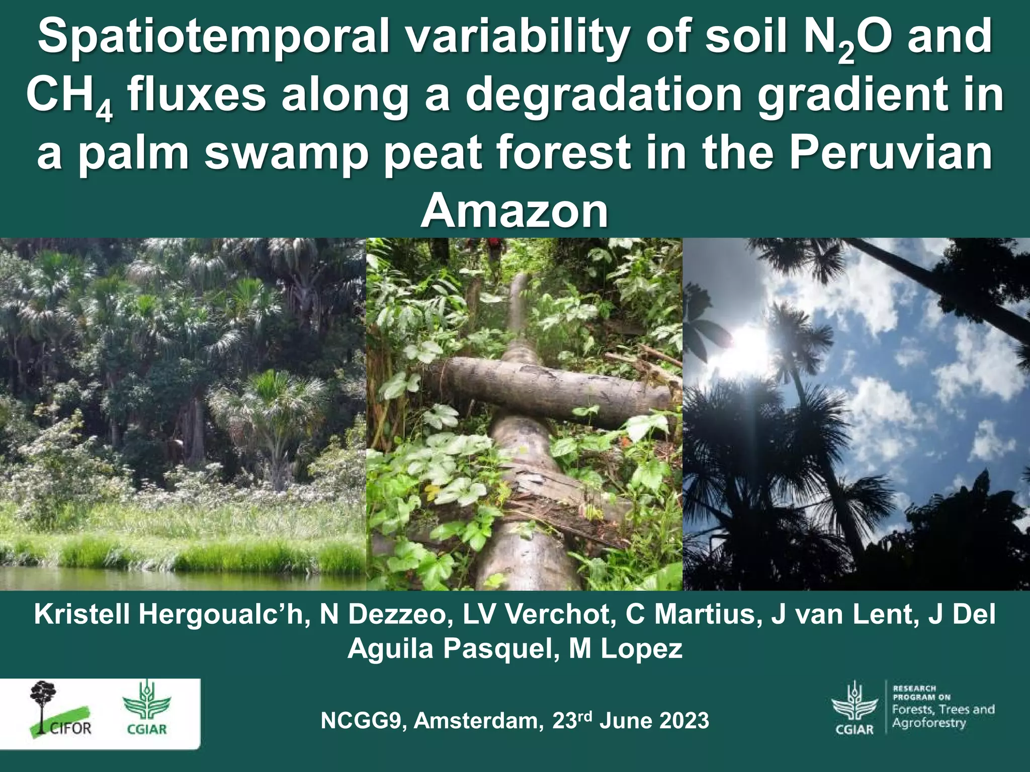
Peatland pole forest is the most carbon-dense ecosystem in Amazonia, but its spatial distribution and species composition are poorly known. To address this knowledge gap, we quantified variation in the floristic composition, peat thickness, and the amount of carbon stored above and below ground of 102 forest plots and 53 transects in northern Peruvian Amazonia. This large dataset includes 571 ground reference points of peat thickness measurements across six ecosystem types. These field data were also used to generate a new land-cover classification based on multiple satellite products using a random forest classification. Peatland pole forests are floristically distinctive and dominated by thin-stemmed woody species such as Pachira nitida (Malvaceae), Platycarpum loretense (Rubiaceae), and Hevea guianensis (Euphorbiaceae). In contrast, palm swamps and open peatlands are dominated by Mauritia flexuosa (Arecaceae). Peatland pole forests have high peat thickness (274 ± 22 cm, mean ± 95% CI, n = 184) similar to open peatlands (282 ± 46 cm, n = 46), but greater than palm swamps (161 ± 17 cm, n = 220) and seasonally-flooded forest, terra firme, and white-sand forest where peat is rare or absent. As a result, peatland pole forest has exceptional carbon density (1,133 ± 93 Mg C ha−1). The new sites expand the known distribution of peatland pole forest by 61% within the Pastaza-Marañón Foreland basin, mainly alongside the Tigre river, to cover a total of 7540 km2 in northern Peruvian Amazonia. However, only 15% of the pole forest area is within a protected area, whilst an additional 26% lies within indigenous territories. The current low levels of protection and forest degradation but high threat from road paving projects makes the Tigre river basin a priority for conservation. The long-term conservation of peatland pole forests has the potential to make a large contribution towards international commitments to mitigate climate change.
Download:
 file
file

- Authors: Honorio Coronado, E.N., Hastie, A., Reyna, J., Flores, G., Grández, J., Lähteenoja, O., Draper, F.C., Åkesson, C.M., Baker, T.R., Bhomia, R.K., Cole, L.E.S., Dávila, N., Del Águila, J., Del Águila, M., del Castillo Torres, D., Lawson, I.T., Martín Brañas, M., Mitchard, E.T.A., Monteagudo, A., Phillips, O.L., Ramírez, E., Ríos, M., Ríos, S., Rodriguez, L., Roucoux, K.H., Tagle Casapia, X., Vasquez, R., Wheeler, C.E., Montoya, M.
- Author Affiliation: Instituto de Investigaciones de la Amazonía Peruana, University of Edinburgh, Arizona State University, University of Leeds, University of St Andrews, Center for International Forestry Research, Jardín Botánico de Missouri Perú, Wildlife Conservation Society, Centro de Conservación, Investigación y Manejo de Áreas Naturales Perú
- Subjects: peatlands, spatial distribution, species composition, carbon sinks, remote sensing, satellite imagery
- Publication type: Journal Article, ISI
- Source: Environmental Research Letters 16(7): 074048
- Year: 2021
- DOI: https://doi.org/10.1088/1748-9326/ac0e65
