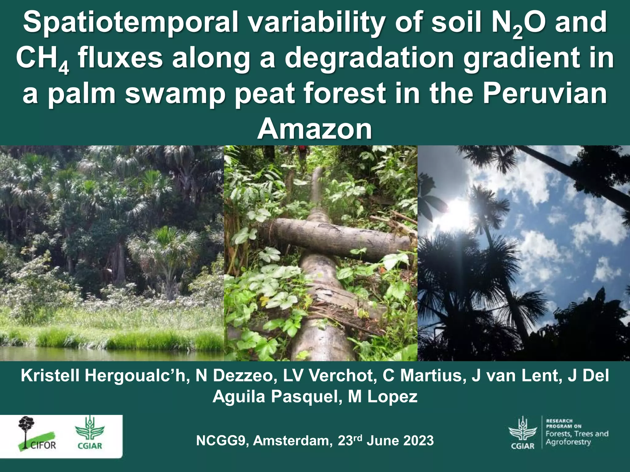
The presentation can be accessed directly from slideshare: here
Presented by Solichin Manuri, Senior Advisor at Diameter Consulting, Bogor, Indonesia, at "Online Webinar 2: Biophysical Attributes and Peatland Fires", on 14 October 2020 In this session the speaker shared information on mapping fire (extent and occurrences) in tropical peatlands including in Indonesia. This session also shared insights on the existing methods that can be used for fire mapping and comparisons. This session also emphasized that spatial explicit criteria for fire should be developed depending on the method and data used.Presentation
