- Home
- Experts Directory
- Gumbricht, T.

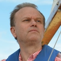
Thomas Gumbricht
Senior Lecturer, Geoinformatics
KTH Royal Institute of Technology

Senior Lecturer, Geoinformatics
KTH Royal Institute of Technology
Thomas ia a scientist focusing on natural resources modeling, mapping, monitoring and management using spatial data. To do that he had created my own Big Spatial Data processing framework, available via his GeoImagine GitHub pages. Works part-time at the Department of Physical Geography, Stockholm University and half time as a private researcher (Karttur AB). Thomas have deep knowledge in hydrology, wetlands, agroforestry, forestry, systems ecology, spatial data processing, remote sensing, geoinformatics and web map building. Also have worked 15 years at different universities (Sweden and South Africa), and 15 years for UN-related research organizations in Africa and Asia.
Senior Lecturer, Geoinformatics, KTH Royal Institute of Technology
Murdiyarso, D.; Román-Cuesta, R.M.; Verchot, L.V.; Herold, M.; Gumbricht, T.; Herold, N.; Martius, C.
Gumbricht, T.; Román-Cuesta, R.M.; Verchot, L.V.; Herold, M.; Wittmann, F.; Householder, E.; Herold, N.; Murdiyarso, D.